Current Projects
Future Agricultural Landscape Transition
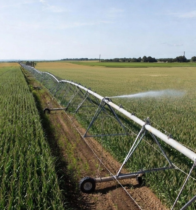
This project investigates how climate change, land-use policies, management practices, conservation programs, and socio-economic dynamics will shape agricultural landscapes in the coming decades. By integrating geospatial data, remote sensing, and machine learning, it identifies likely shifts in cropping patterns and evaluates strategies to promote sustainable agriculture. The project addresses the following themes:
- Probable and desirable agricultural futures in the US
- Identifying vulnerable regions and farm-dependent communities
- Impacts of agricultural transitions on water resources
- Effects of transitioning agricultural landscapes on global biogeochemical cycles
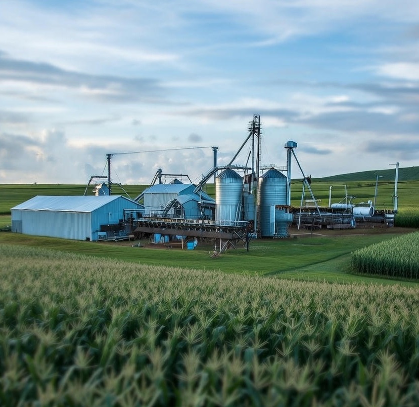
Agricultural Sustainability and Supporting Infrastructure
This project examines how access to processing infrastructure and markets influences crop choices and resilience. Using data-driven modeling approaches, it identifies strategies to support sustainable farming systems and improve food security under changing climate conditions.
Past Projects
Irrigation Expansion and Urban Water Scarcity
Analyzed how rural irrigation expansion impacts urban water scarcity in the US. Using the H08 hydrological model, the study quantified trade-offs between agricultural water use and urban water security. Read More
Sustainability of Virtual Water Flow
Investigated virtual water transfers between US counties due to trade in cereals and milled grains. Assessed the sustainability of these trade flows based on water scarcity conditions at the origin of exports. One-third of the US counties imported significant share of grain and cereals from water-scare regions in 2017. Read More
Impact of Drought on Crop Yield Loss Risk
This project evaluated changes in drought-induced crop yield loss risk across the US between 1971–2000 and 1991–2020 for six major crops. Using a copula-based probabilistic framework, it identified strong spatial variability in yield risk and showed that climatic drivers played a larger role than irrigation or fertilizer use in shaping these changes. Read More